Imagine having a single, unified platform where you can find detailed airport information, runway data, fuel availability, overflight permits, and real-time NOTAMs — all in one place, accessible from anywhere in the world. For pilots, dispatchers, and aviation professionals, that kind of centralized resource has long been a missing piece of the puzzle. Data Sky Center was built to fill exactly that gap.
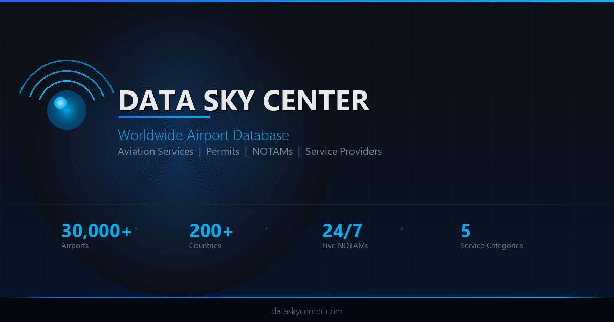
Born from nearly a decade of hands-on aviation experience and a passion for software development, Data Sky Center (dataskycenter.com) is a collaborative, community-powered global airport database designed to make flight planning smarter, faster, and more accurate for aviation professionals at every level.
The Problem: Fragmented Aviation Information
Anyone who has planned a flight — especially internationally — knows the frustration. You visit one website for airport charts, another for NOTAMs, a third for fuel prices, and then make a phone call to figure out whether a slot or ground handling authorization is required. The data is scattered, sometimes outdated, and rarely all in one place.
Existing platforms serve their purpose well, but most are centralized and controlled by a single organization. While that brings consistency, it also means the information may not always reflect the real-world, on-the-ground conditions that only active pilots and operators truly know.
Data Sky Center was conceived to address this directly: a collaborative, crowd-verified airport database that combines structured data with community knowledge — think of it as the aviation equivalent of a navigation app that relies on real-time user input to stay accurate and up to date.
What Is Data Sky Center?
Data Sky Center is a global airport information platform accessible at dataskycenter.com. At its core, it provides a world map populated with airports of all types — international, domestic, military, and private — each carrying a detailed profile that users can browse, verify, and contribute to.
The platform is designed for pilots, flight dispatchers, ground handlers, aviation service providers, and anyone involved in flight operations. Whether you are planning a regional turboprop flight or routing a business jet across multiple FIRs, Data Sky Center aims to give you the operational intelligence you need in one unified interface.
The interface opens with a filterable world map. From there, selecting any airport — say, São Paulo/Guarulhos International (SBGR) — brings up a detailed modal window with a comprehensive snapshot of that airport's data and its current completion status.
What Data Does Each Airport Profile Include?
Each airport profile on Data Sky Center is structured to cover the full spectrum of information relevant to flight operations. Here is a breakdown of what you can expect to find:
- Basic identification: ICAO/IATA codes, airport name, type, and category
- Location data: Elevation (in both feet and meters), distance to the nearest city (in kilometers and nautical miles)
- Sunrise and sunset times: Calculated per airport location — essential for VFR flight planning
- Runway information: Dimensions in feet and meters, PCN (Pavement Classification Number), lighting systems, and navigational aids
- Radio frequencies: Tower, ground, approach, ATIS, and other relevant comms
- Operating hours: Including any restrictions or conditional availability
- Handling and slot requirements: Whether prior authorization or ground handling arrangements are needed
- Immigration and customs information
- Fuel availability: Types of fuel available (JetA, AvGas, SAF, etc.) with pricing per liter or per gallon in local or USD currency
- Airport fees and charges
- NOTAMs: Integrated and updated in real time, showing active airspace restrictions and airport closures
- TAF and METARs: Current weather reports and forecasts pulled directly for that station
Pro tip: Even partially complete airport profiles are useful. Data Sky Center shows a completion percentage for each airport, so you know exactly how much verified data is available — and where contributions are most needed.
Community-Driven Verification: The Snowball Effect
One of the most distinctive features of Data Sky Center is its community verification system. Every piece of data — from runway lighting to fuel price — can be confirmed or flagged by registered users who have first-hand operational knowledge of that airport.
The mechanism is simple: next to each data field, users can click a verification checkmark to confirm that the information is accurate. The more pilots and operators validate a piece of data, the more confidence the platform assigns to it. Think of it as a peer-review system built specifically for aviation data.
If information is missing — for example, the lighting system for Runway 10R/28L — any logged-in user can submit a suggestion. That suggestion is then reviewed and validated by the Data Sky Center team before being published. This curatorial layer is essential: aviation data must be accurate, and no unverified information goes live without human review.
Did you know? The platform also includes a leaderboard for contributors. Users who provide the most accurate and useful data earn points and recognition within the community — a smart incentive to keep the database growing and improving.
Overflight and Landing Permits by FIR
International flight planning often involves navigating the complex world of overflight and landing permits. Requirements vary significantly from one country to the next, and staying current with them is a constant challenge for flight dispatchers and operators.
Data Sky Center addresses this by organizing permit information by FIR (Flight Information Region). The platform covers FIRs worldwide, providing guidance on how to obtain overflight and landing authorizations for each jurisdiction. Users can also validate or correct this information — which is particularly valuable for regions where official documentation may be ambiguous or difficult to access.
For example, accessing the permit section for a West African FIR will show the applicable authorization procedures, contact information, and aviation categories covered (private, non-scheduled, scheduled). As with airport data, this information is community-verifiable, making it more resilient to outdated official sources.
Great Circle Route Planning with FIR Awareness
Data Sky Center includes a practical route planning tool that allows users to plot a Great Circle route between two or more airports. Enter your departure and destination — for instance, Curitiba (SBCT) to a remote airfield — and the system calculates the shortest geodesic path along with the total Great Circle distance.
What makes this particularly useful for international operations is the automatic FIR identification along the route. As the route is drawn, the platform identifies which FIRs will be overflown and displays the relevant landing and overflight permit requirements for each one — all without leaving the platform.
The tool also supports FIR avoidance. If you need to route around a specific country or restricted airspace, the system can recalculate an alternative path — and immediately show you how much that deviation adds to your total Great Circle distance. For operators managing fuel planning or range calculations, this kind of integrated awareness is genuinely useful at the preliminary planning stage.
Pro tip: Use the route planner early in your planning process to identify permit requirements across all overflown FIRs. This helps you initiate permit requests well in advance — especially critical for regions with lengthy approval timelines.
Subscription Plans and Service Provider Listings
Data Sky Center operates on a freemium model with four distinct plan tiers, designed to accommodate individual pilots, frequent users, and commercial aviation service providers.
- Free Plan: Open to all registered users. Provides 10 minutes of platform access per session. Additional time can be unlocked by contributing data — the more you give, the more access you earn.
- Standard Paid Plan ($5/month): Full, unlimited access to all platform features. Ideal for active pilots and dispatchers who rely on the platform regularly.
- Service Provider Basic: Designed for aviation businesses — catering companies, ground handlers, maintenance providers, and FBOs. Includes a listing within the airport's service directory, visible to all users browsing that airport's profile.
- Service Provider Gold: A premium listing tier with greater visibility and priority placement. Gold positions are allocated via an automated auction system — ensuring that the most competitive providers can secure top placement in high-traffic airport profiles.
This structure serves two goals simultaneously: it keeps the platform accessible to individual aviation professionals while creating a sustainable revenue model through service provider visibility — similar to how established aviation directories operate, but integrated directly into an operational airport database.
Key Takeaways
- Data Sky Center is a global, collaborative airport database built for pilots, dispatchers, and aviation professionals who need unified operational information.
- Airport profiles include runway data, frequencies, fuel types and prices, operating hours, slot and permit requirements, NOTAMs, and weather — all in one place.
- A community verification system allows users to confirm, correct, or add information, with all changes subject to editorial review before publication.
- The platform covers overflight and landing permit requirements by FIR, providing actionable guidance for international operations.
- An integrated Great Circle route planner identifies overflown FIRs and their permit requirements automatically.
- Four subscription tiers serve both individual users and aviation service businesses, with a contribution-based system to unlock additional free access.
- The platform is live and accessible at dataskycenter.com — and actively seeking community contributions to expand and improve its global dataset.
Start Exploring — Your Input Makes Aviation Better
Data Sky Center is more than a database — it is a living platform that grows more valuable with every pilot, dispatcher, and aviation professional who contributes to it. Whether you are verifying a runway length you flew last week or adding the fuel price you paid at a remote airstrip, your knowledge directly improves the resource that the entire community relies on.
The aviation community has always been built on shared knowledge and mutual support. Data Sky Center is simply a modern, structured way to formalize that tradition — and make it searchable, verifiable, and globally accessible.
Visit dataskycenter.com to explore the airport search, contribute to the database, and see what the platform can do for your next flight planning session. The more we contribute, the better aviation gets — for all of us.


